
Flag Map Of Syria (2025–present)
Map of Syria containing the flag of Syria used between 1932-1958 and 1961-1963, recently revived by some of the 2011-2012 protesters in Syria. Note that these borders were not determined until ca. the early 1940s (after Alexandretta and Lebanon were detached from the French Mandate), so this is not a valid flag-map of Syria during the 1930s...

Related Vectors
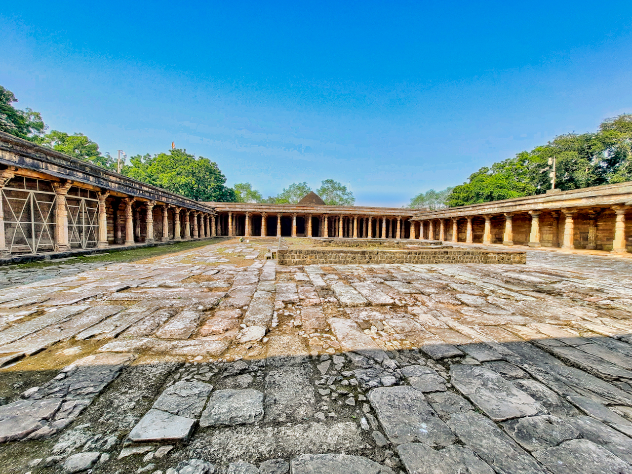
0102721 Bhojshala and Kamal Maula mosque site, Dhar Madhya Pradesh 008
by
Sri Lelawangsa icon
by

Flag Of Minsk, Belarus
by

Flag Of Kyōtamba, Kyoto
by
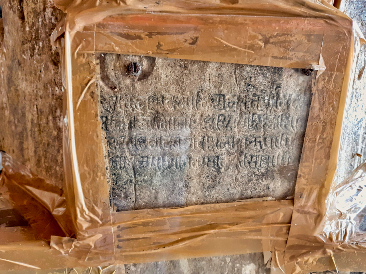
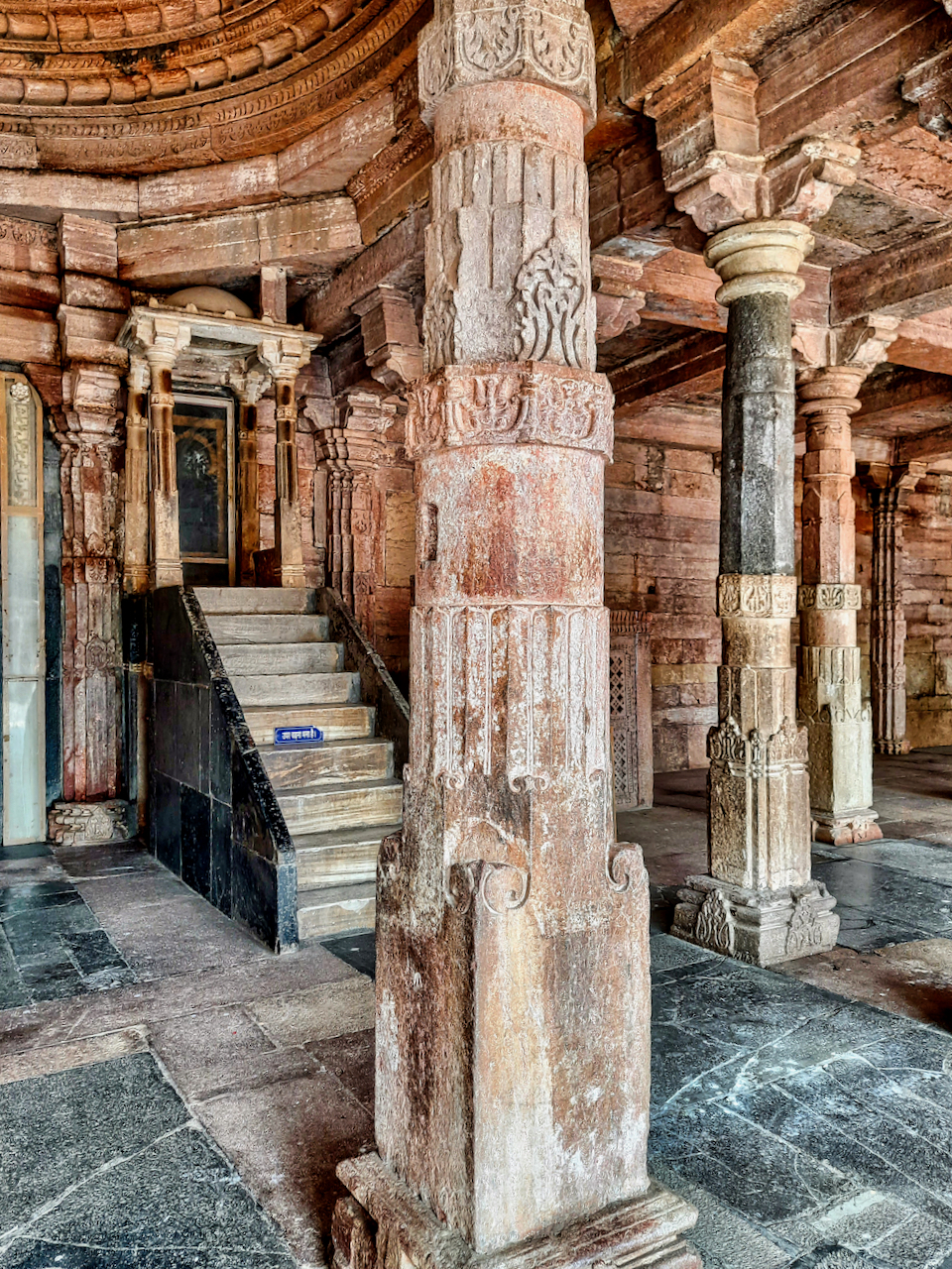
0102721 Bhojshala and Kamal Maula mosque site, Dhar Madhya Pradesh 104
by
0102721 Bhojshala and Kamal Maula mosque site, Dhar Madhya Pradesh 019
by
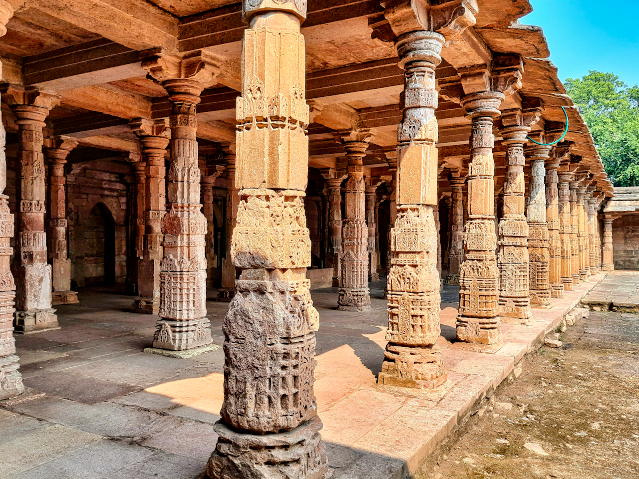
0102721 Bhojshala and Kamal Maula mosque site, Dhar Madhya Pradesh 071
by
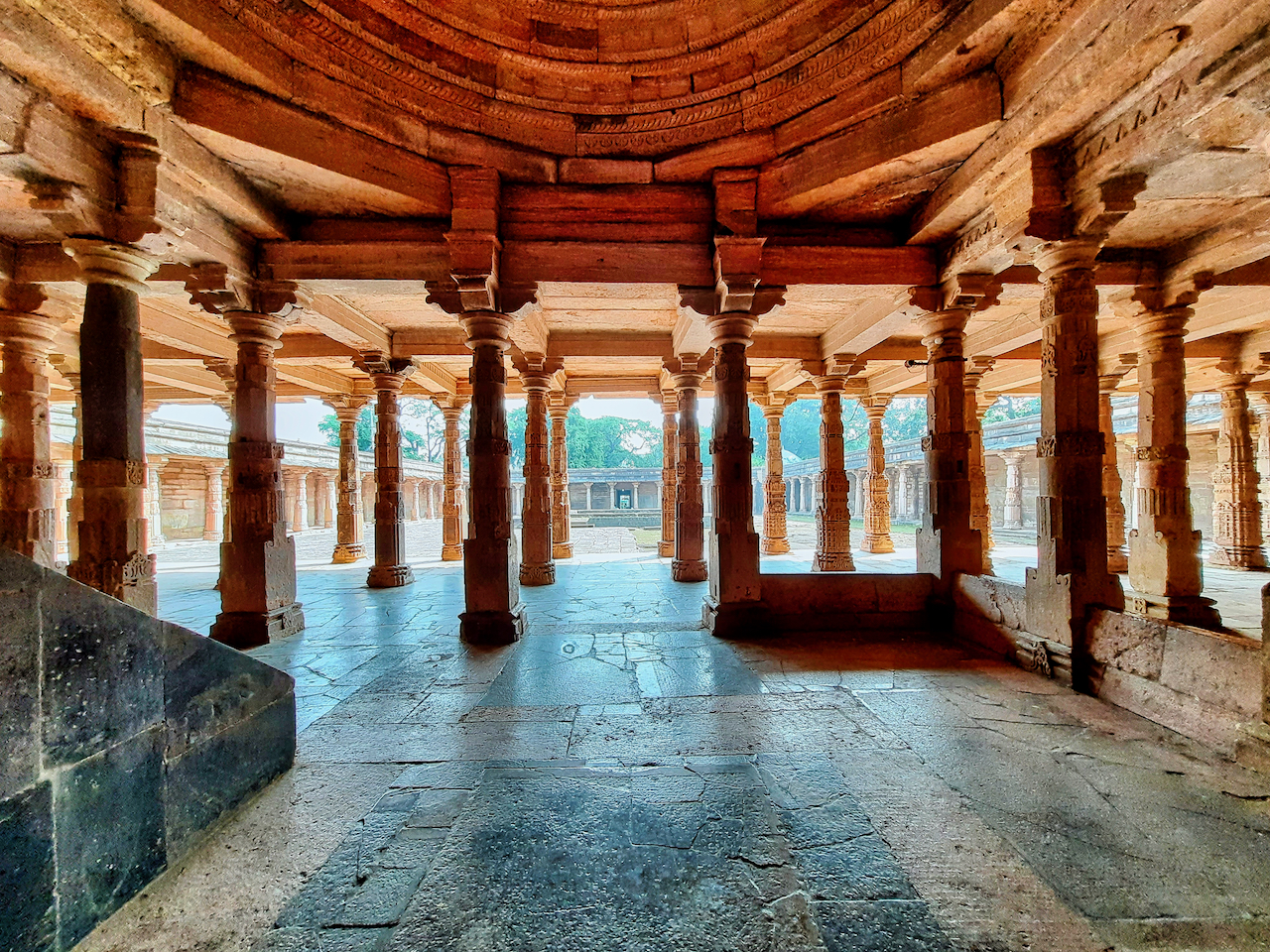
0102721 Bhojshala and Kamal Maula mosque site, Dhar Madhya Pradesh 049
by

Dad and son in the park
by
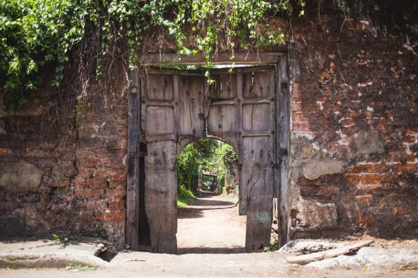
Inner way in Door
by
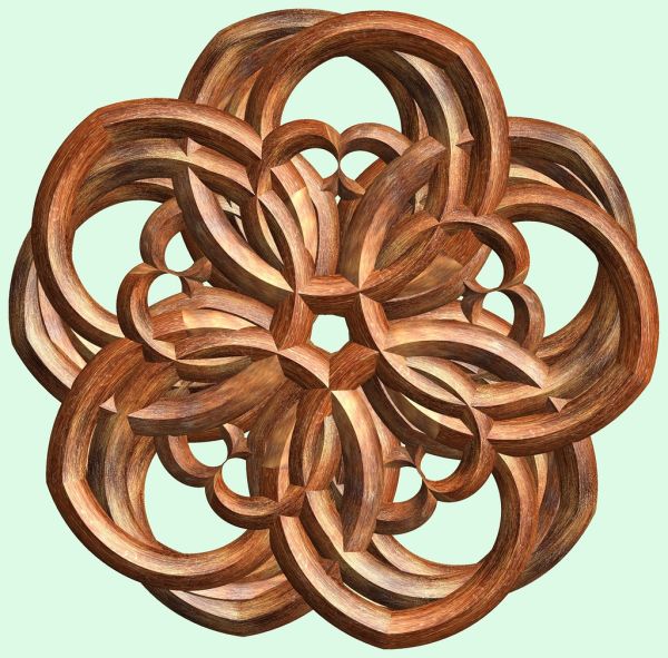
5 Crossing hexa-tori / 交差する5個の六芒星環
by

3 Tori / 3つの輪環
by
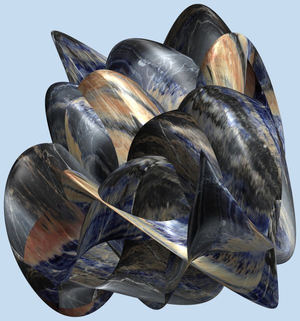
Rock / 塊
by
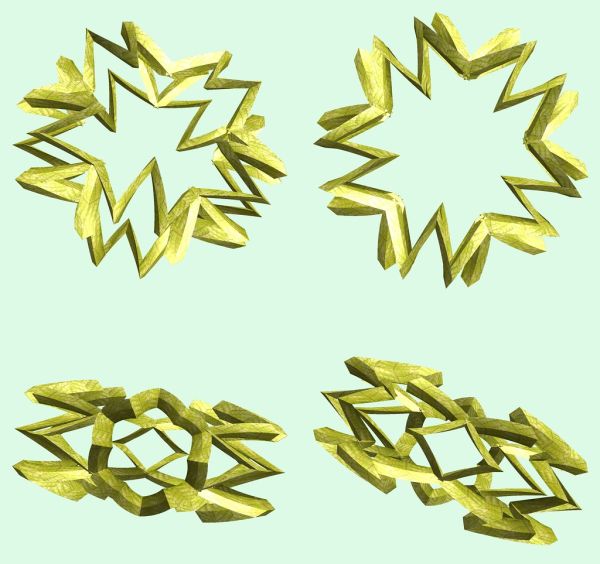
5 Knots / 5つの結び目
by
Radar icon
by
Jabar Kereta Cepat Feeder icon
by

Jakarta LRT Northern Line
by
OOjs UI Icon Notice Destructive
by
OOjs UI Icon ArrowPrevious Ltr
by
ISO 639 Icon Cnr
by
Icon S Blue
by
Icon Folder
by
OOjs UI Icon Chem
by
Play Pause Icon 2283501
by
Color Icon Blue
by
Broom Icon 1
by
Search Icon 72a7cf
by
CPU Z Icon
by
Icon Tools
by
Codex Icon ArrowNext Color Base
by
Codex Icon ListBullet Color Progressive
by
Codex Icon Die Color Progressive
by
OOjs UI Icon Highlight Progressive
by
Yandex Browser Icon
by
JS Icon Edit White
by

Xcode Test Case Success Green
by
Comments (0)
Login to comment